Wiryeseong (위례성)
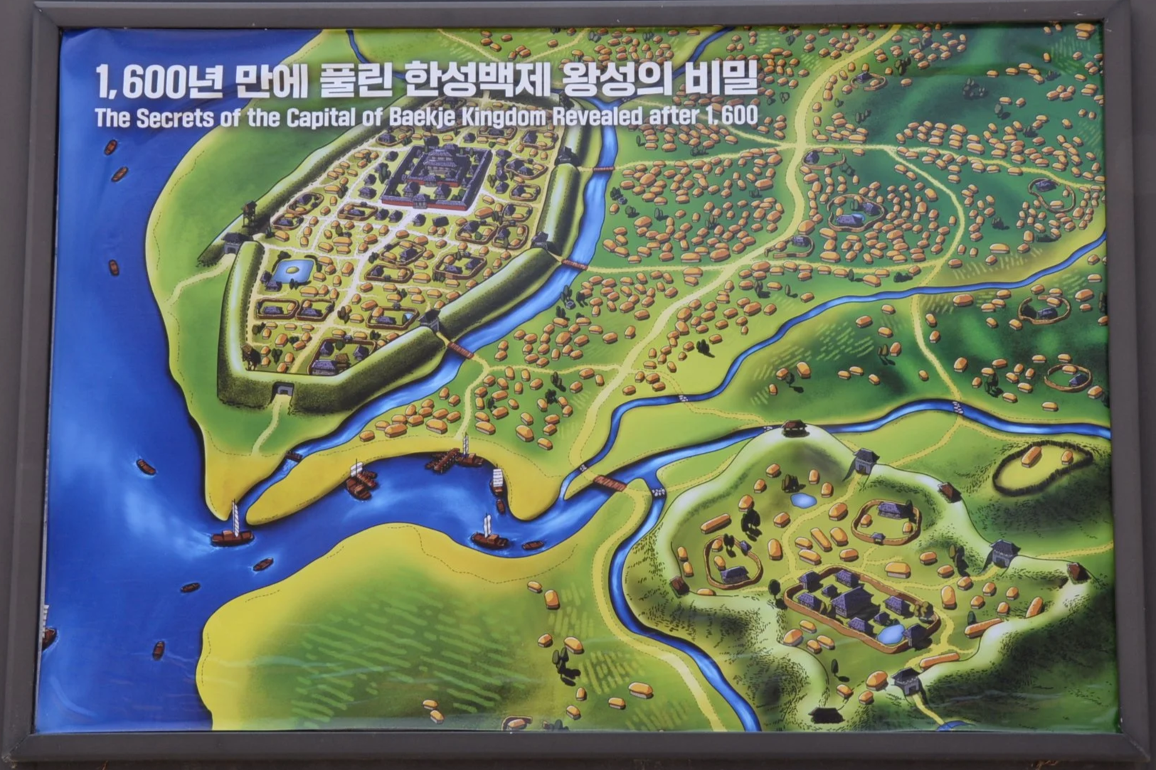
The original capital of the Korean Kingdom of Baekje, Wiryeseong lay along the southern bank of the same Han River that now flows through the center of Seoul. Wiryeseong is thought to have been founded in 18 BC and remained the capital of Baekje until 475 when Goguryeo invaded and captured the city, slaying King Gaero in the process. The precise location of the royal precincts was a mystery until construction crews tripped over the walls in 1997, finally settling the issue. What remains today is a pair of archaeological sites known as Pungnaptoseong and Mongchontoseong. Bearing in mind that a “toseong” references walls made only of rammed-earth construction—with no facing or supporting stone masonry—very little has survived to the modern era. As with all such early Korean Three Kingdoms sites, a little imagination is required to “see” the ancient city in all its glory.
Pungnaptoseong (풍납토성)
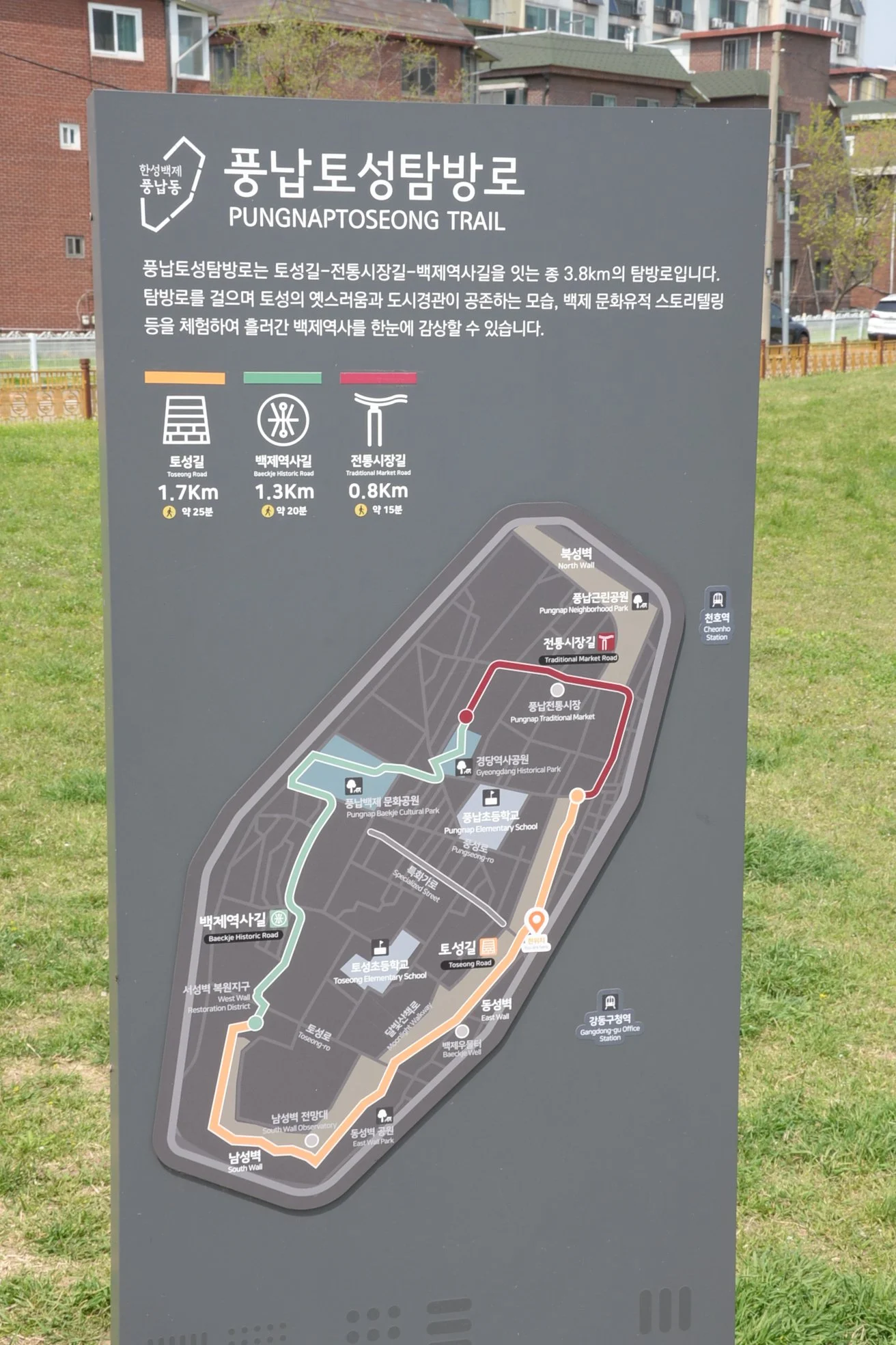
Pungnaptoseong referred to the rammed-earth walls surrounding the capital precincts, including, of course, the royal palace and supporting government buildings and officials. Nearly 4 km in circumference, the uniformly steep walls would have been topped with a low wooden stockade, facilitating defense of the critical inner city. Beyond those walls would have been hundreds, maybe even thousands of individual family compounds and businesses, filling in the gap between this part of the city and the nearby defensive fortress of Mongchontoseong.
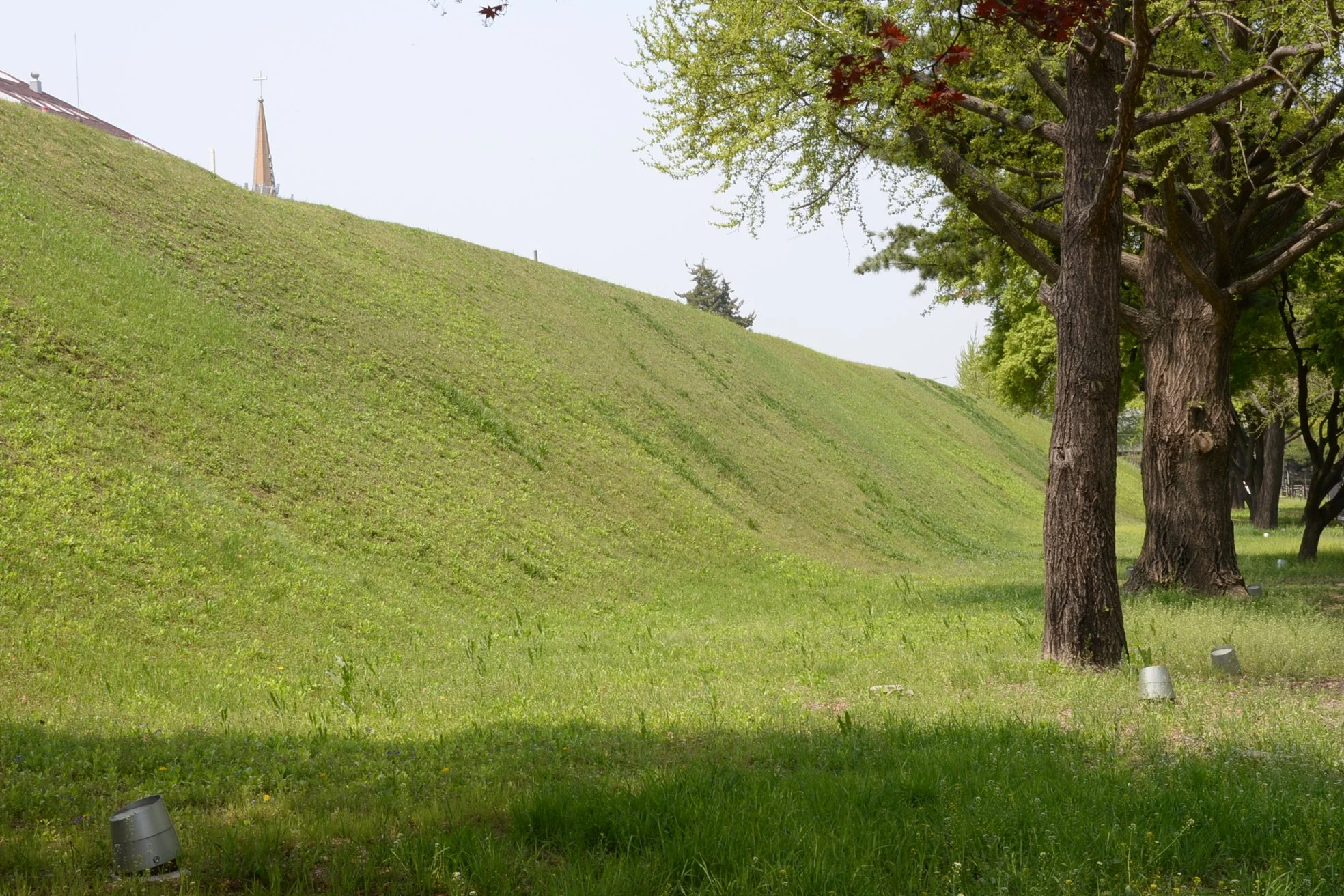
This is the final stretch of the northern wall section, long since dug into and thus destroyed from this point north to the Han River. These wall sections are fairly imposing and reach about 12 meters in height.
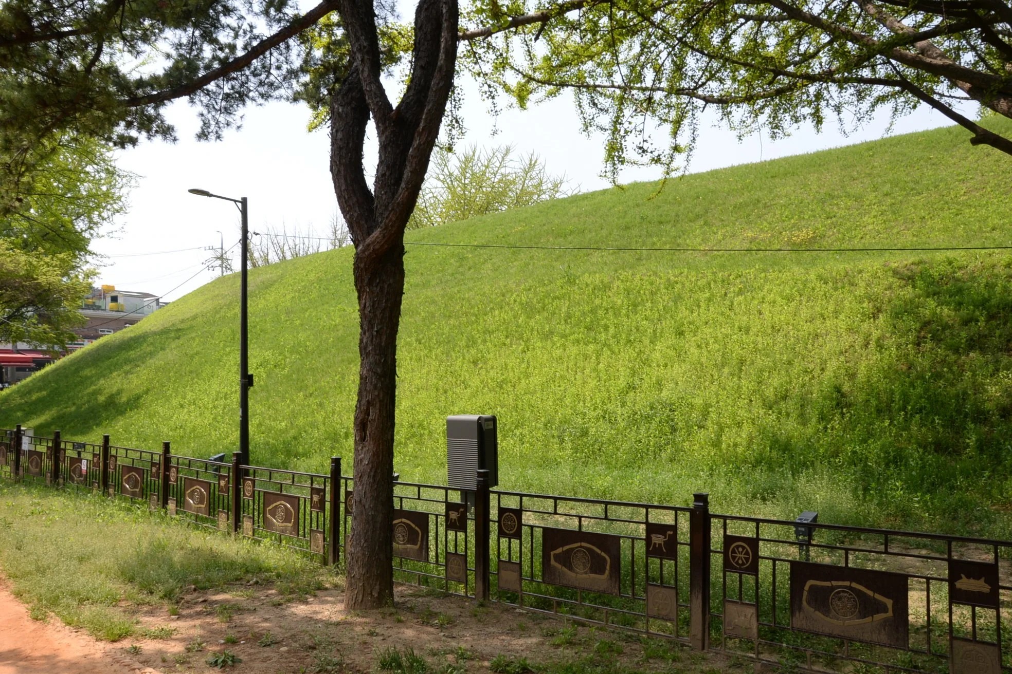
The steep slope of the rammed earth walls remains remarkably consistent around the ancient fortress, though few sections are as well-preserved as those of the northern wall.
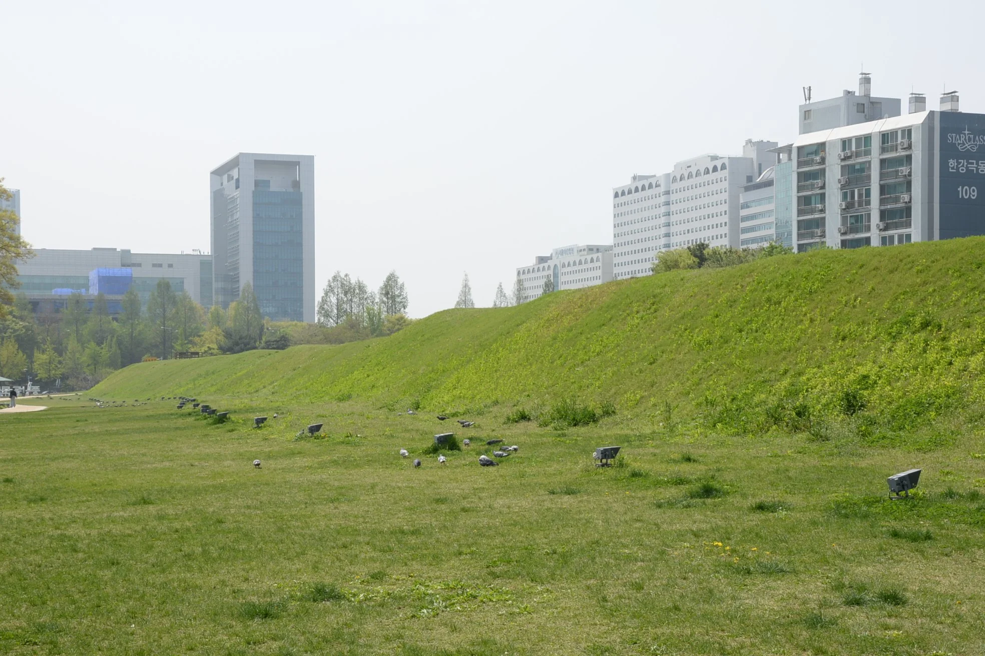
Traveling down the long eastern stretch, the looser dirt has been dug away from the rammed sections, leaving a hint of the original wall shape behind. The lights installed along the base of the wall render a ghostly image of Korea’s distant past each and every night.
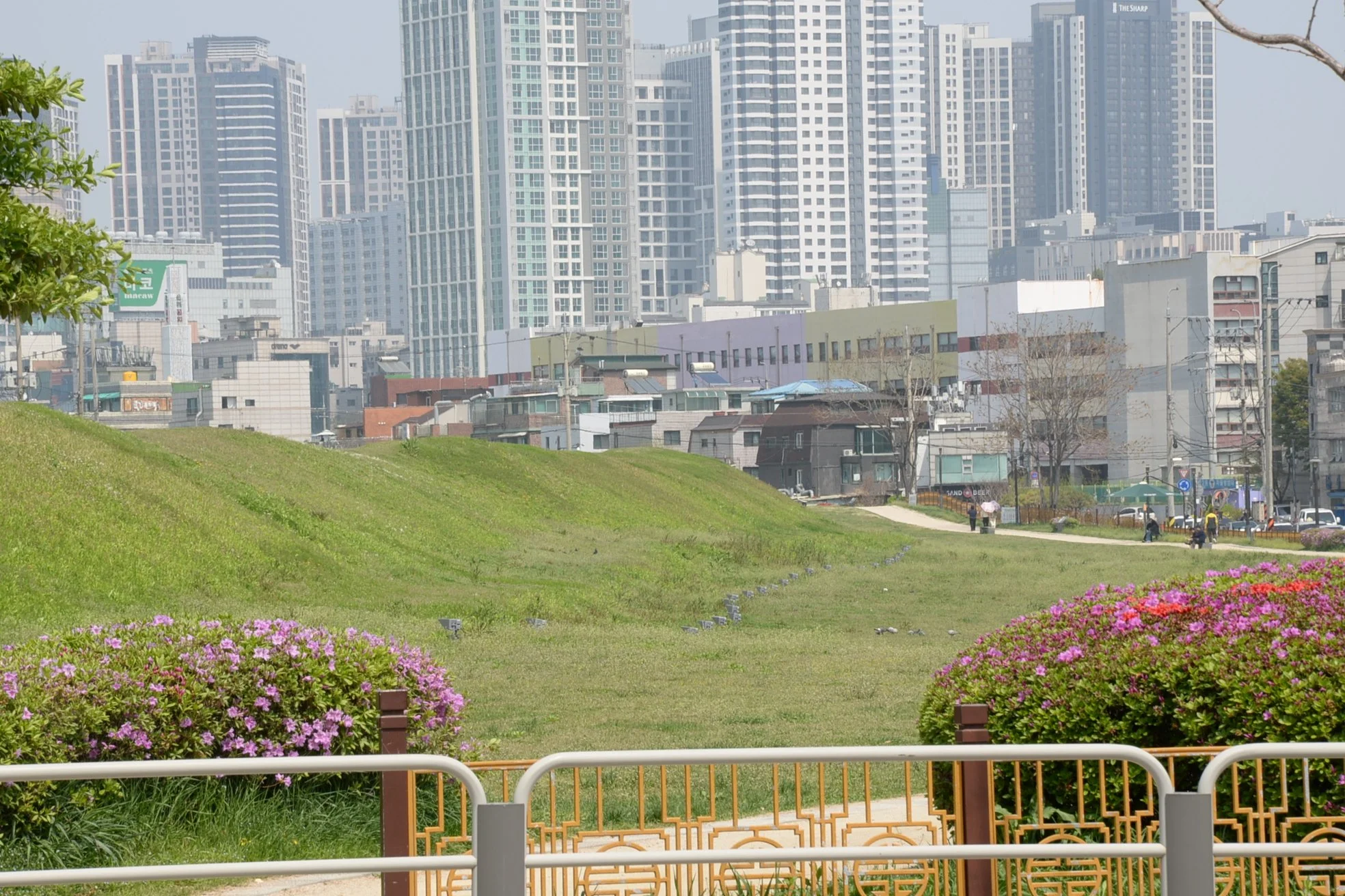
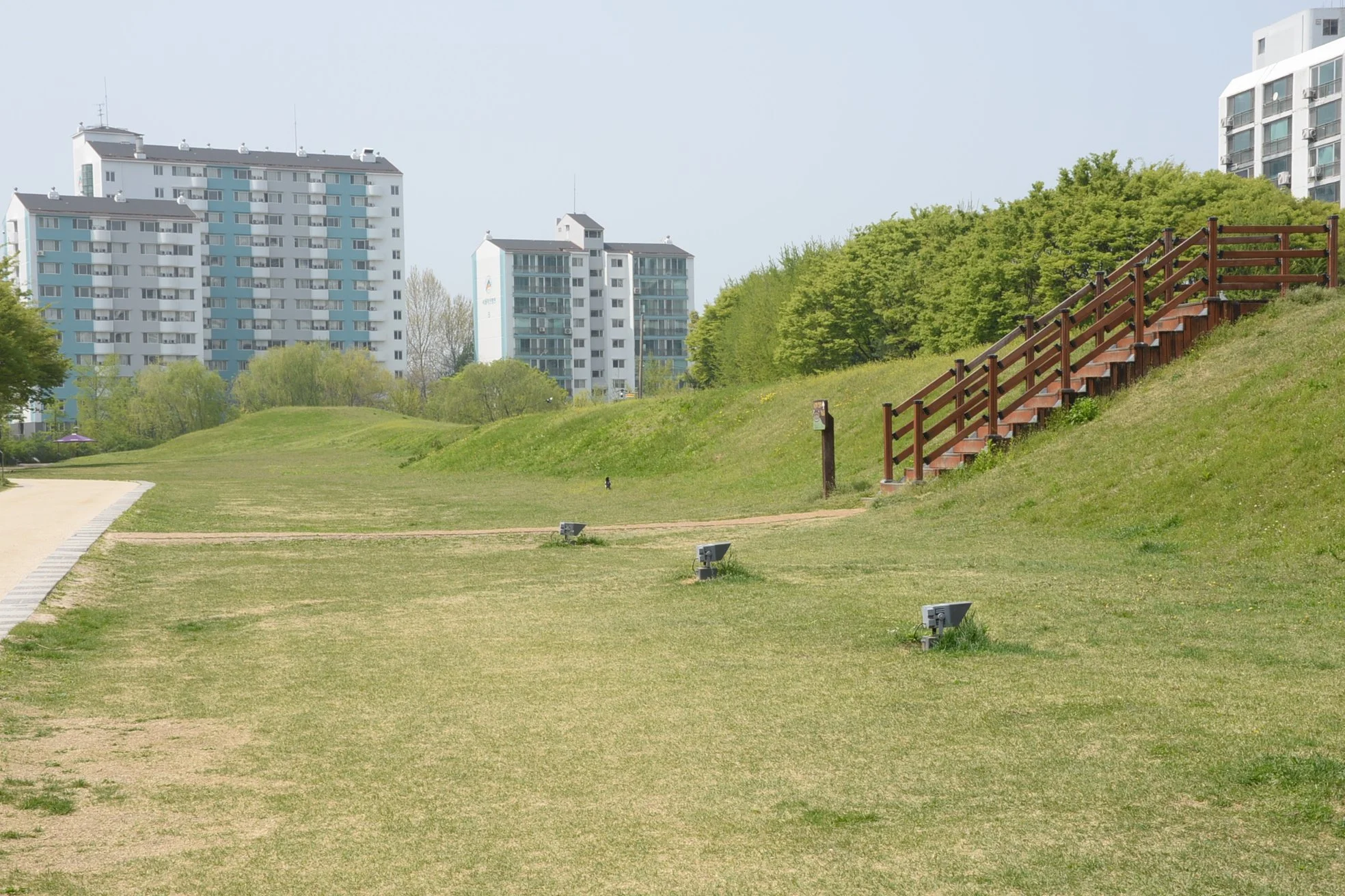
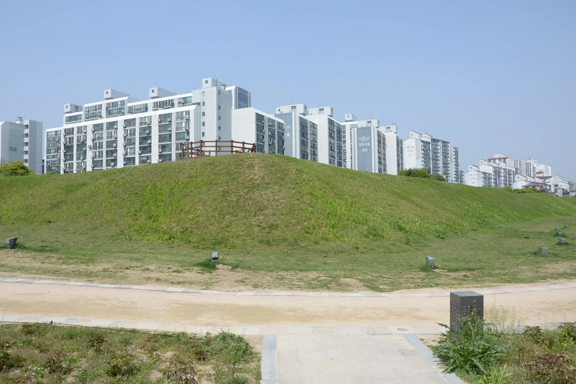
A small observation platform exists at the southeastern apex of the city wall, with stairs facilitating access. The wall at this point is only about 6 meters high. The wall turns 90 degrees to the west at this point and slowly diminishes as it approaches the Han River. Unfortunately only about 200 meters of the western wall survives.
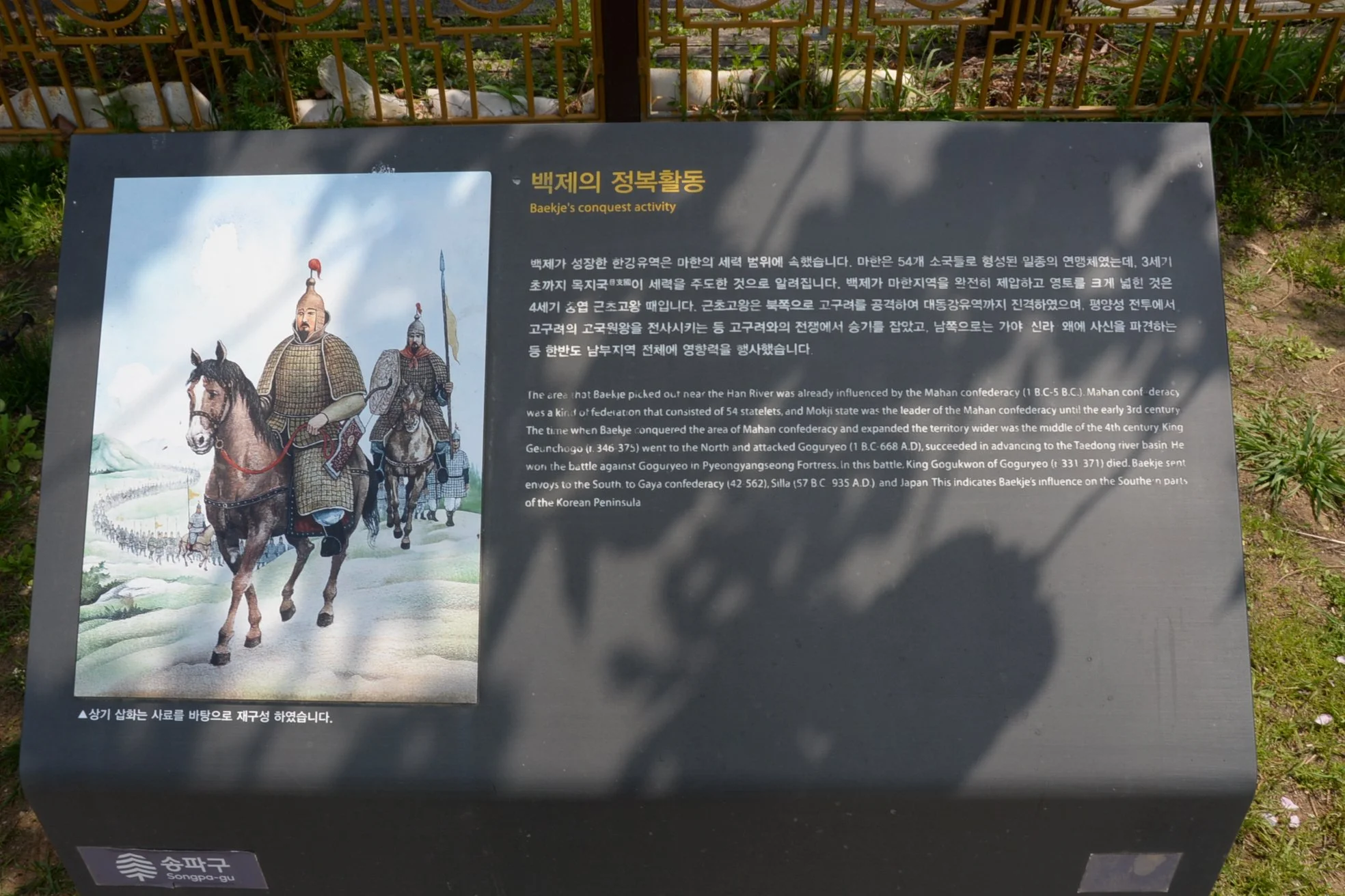
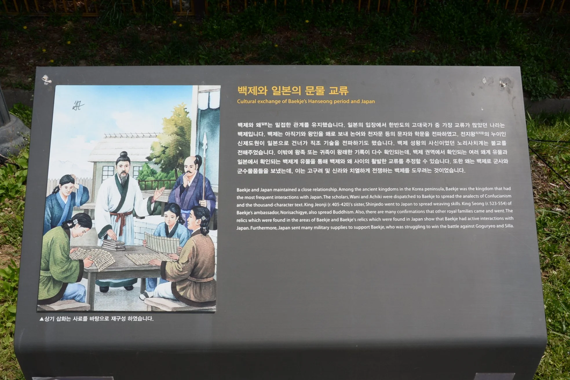
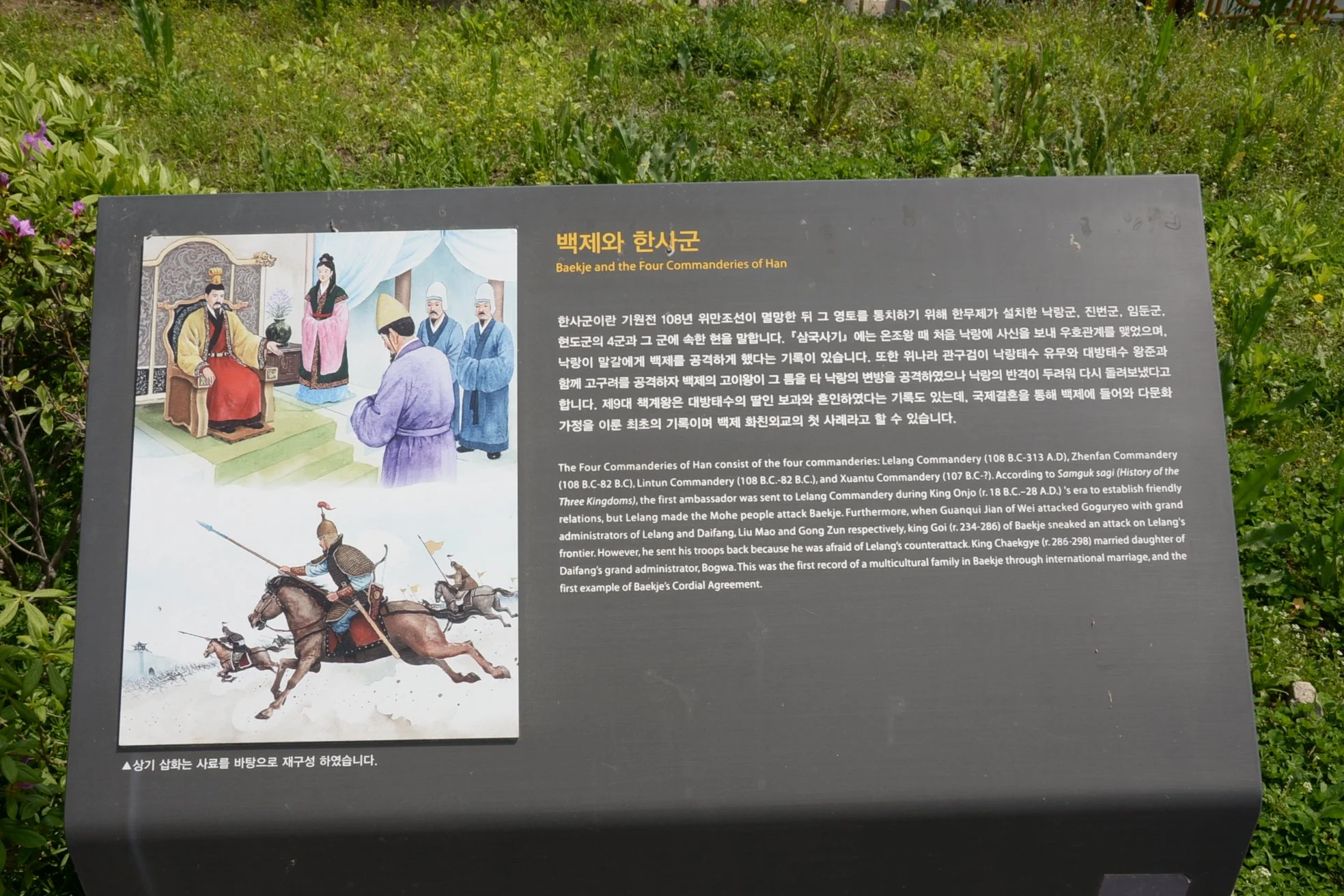
Along the walkway marking the city walls of ancient Wiryeseong there are historical information panels, stories, and traditional vignettes intended to help visitors better understand and visualize the Baekje kingdom and capital.
Mongchontoseong (몽촌토성)
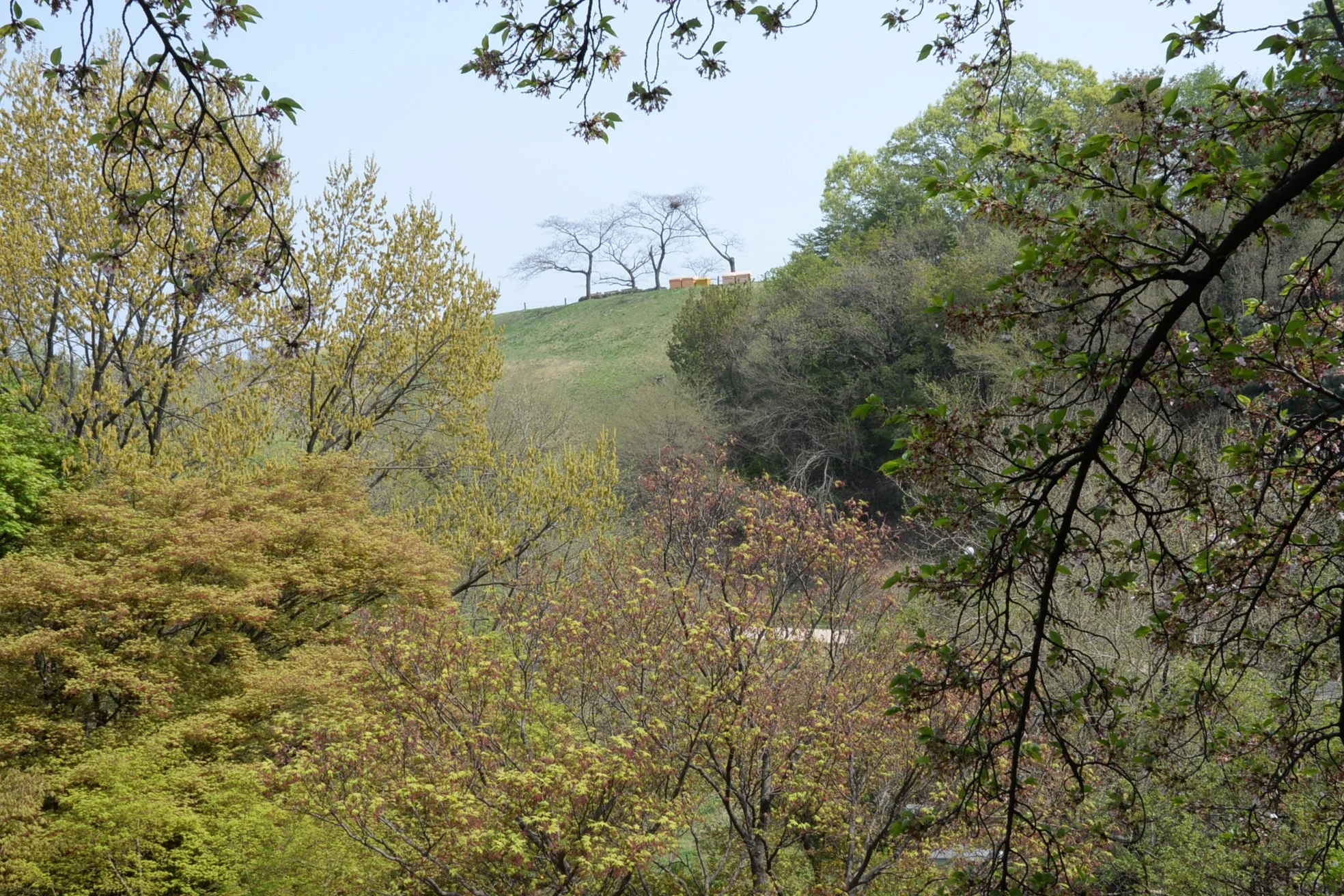
Mongchontoseong requires more imagination even than the royal precincts of Pungnaptoseong. From a distance it just looks like any other hill. Yet once upon a time, this unassuming height was the primary military base of the Kingdom of Baekje.
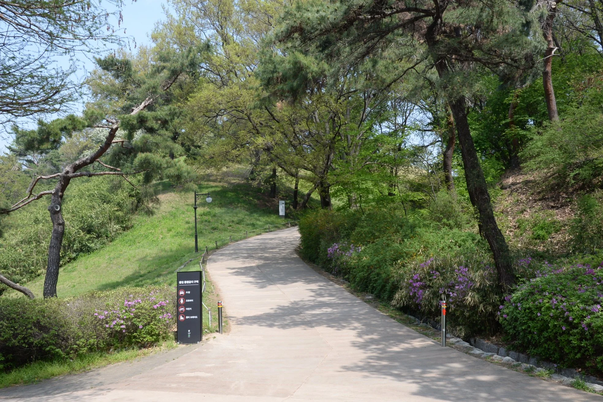
The western gate to the fortress turns fairly steep, running up between two rammed-earth sections obscured by foliage. At this point we questioned whether or not we were even heading the right way.
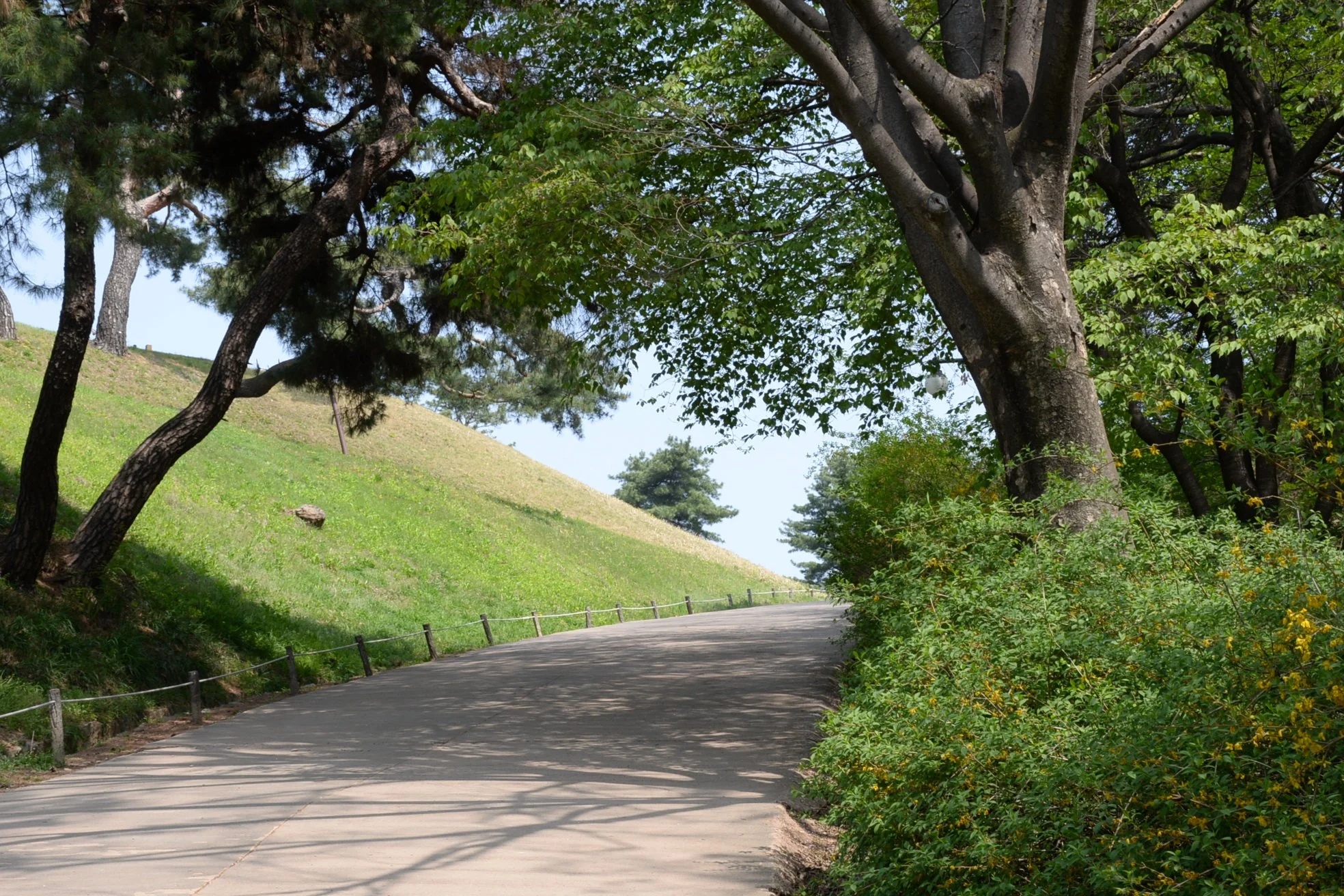
But once you make the turn, indicators of the uniform rammed-earth pattern in the walls emerge and you start to picture in your mind’s eye a guarded gateway with Baekje military guards stopping passers-by and inspecting supply carts.
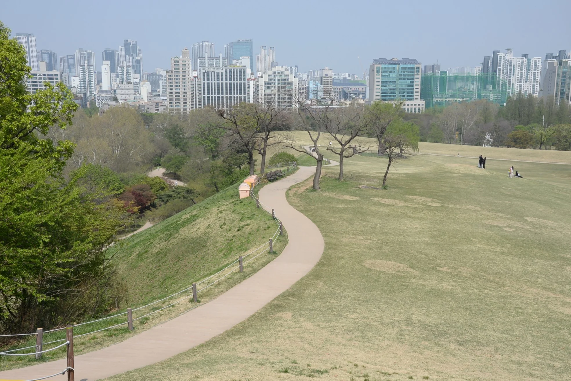
From the ancient fortress’s highest point along the western wall you start to get a sense for the layout, as well as an appreciation for the height above the surrounding terrain. As with all such Three Kingdoms fortresses, already decent terrain—in this case a slight elevation in the ground near the capital—was improved upon with man-made rammed-earth walls. Again, the edge of the wall would have been topped with a wooden stockade, likely with high guard towers built to provide visibility down the steep slope and along the length of the wall.
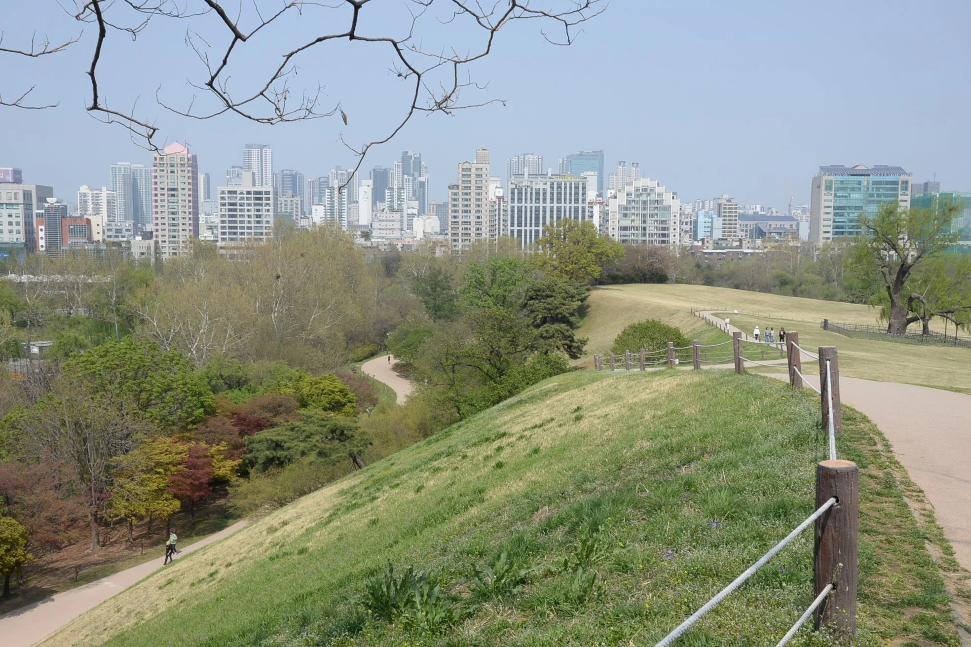
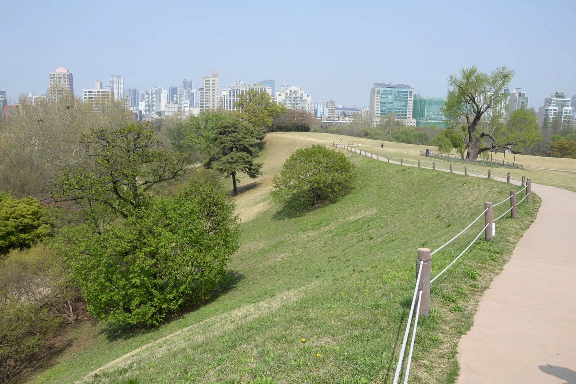
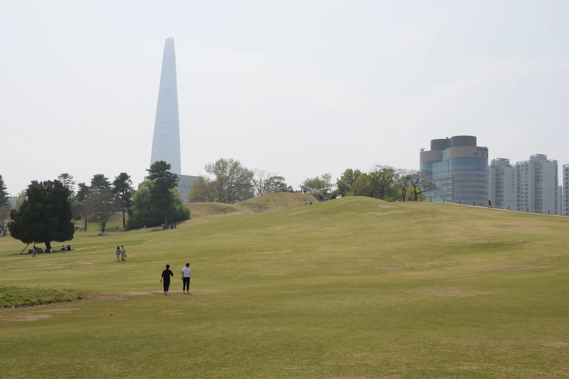
Within the earthen walls there was a tremendous amount of space available, some of which was taken up with military administrative and logistics facilities as well as barracks and stables. At 2.3 kilometers it is smaller in circumference than the royal precincts to the west, consistent with Three Kingdoms military practice of the day. Still, this would have been a fairly large fortress for the time and must have maintained a significant garrison.
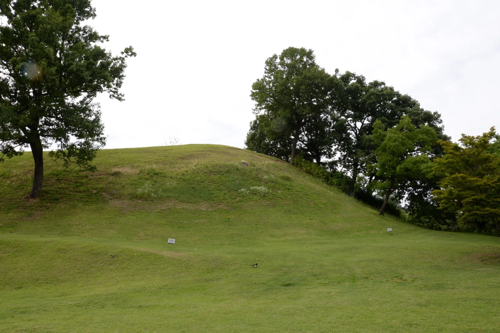
The southern apex of Mongchontoseong. The walls of this fortress run from a height of 6 meters to an astounding 35 meters at their highest point.
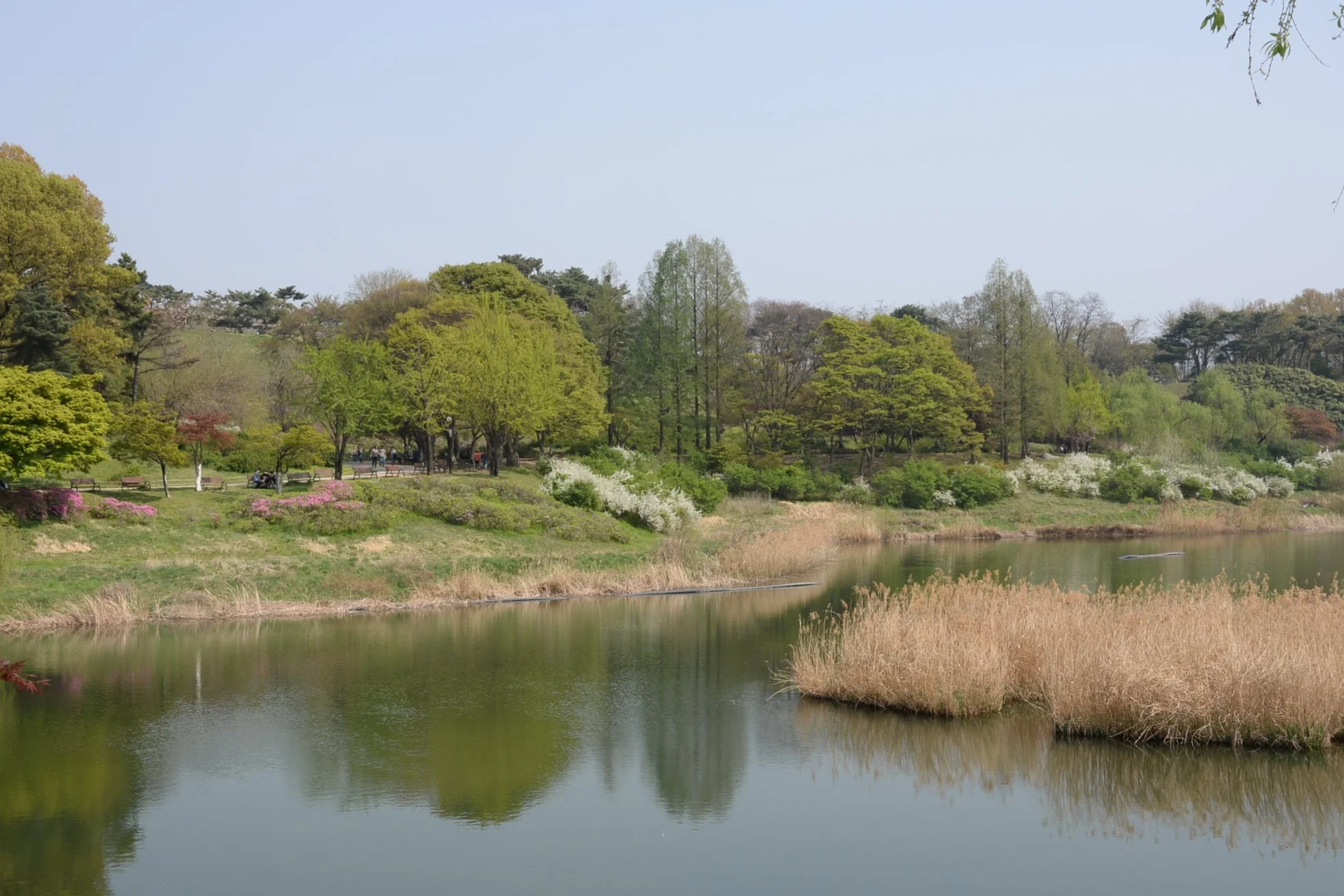
Mongchontoseong was incorporated into the Olympic Park constructed for the 1988 Seoul Olympics and as such is now fronted by a beautiful pond and decorative foliage. Still, from this angle one can make out the heights beyond which sketch the outline of this once, very important fortification.
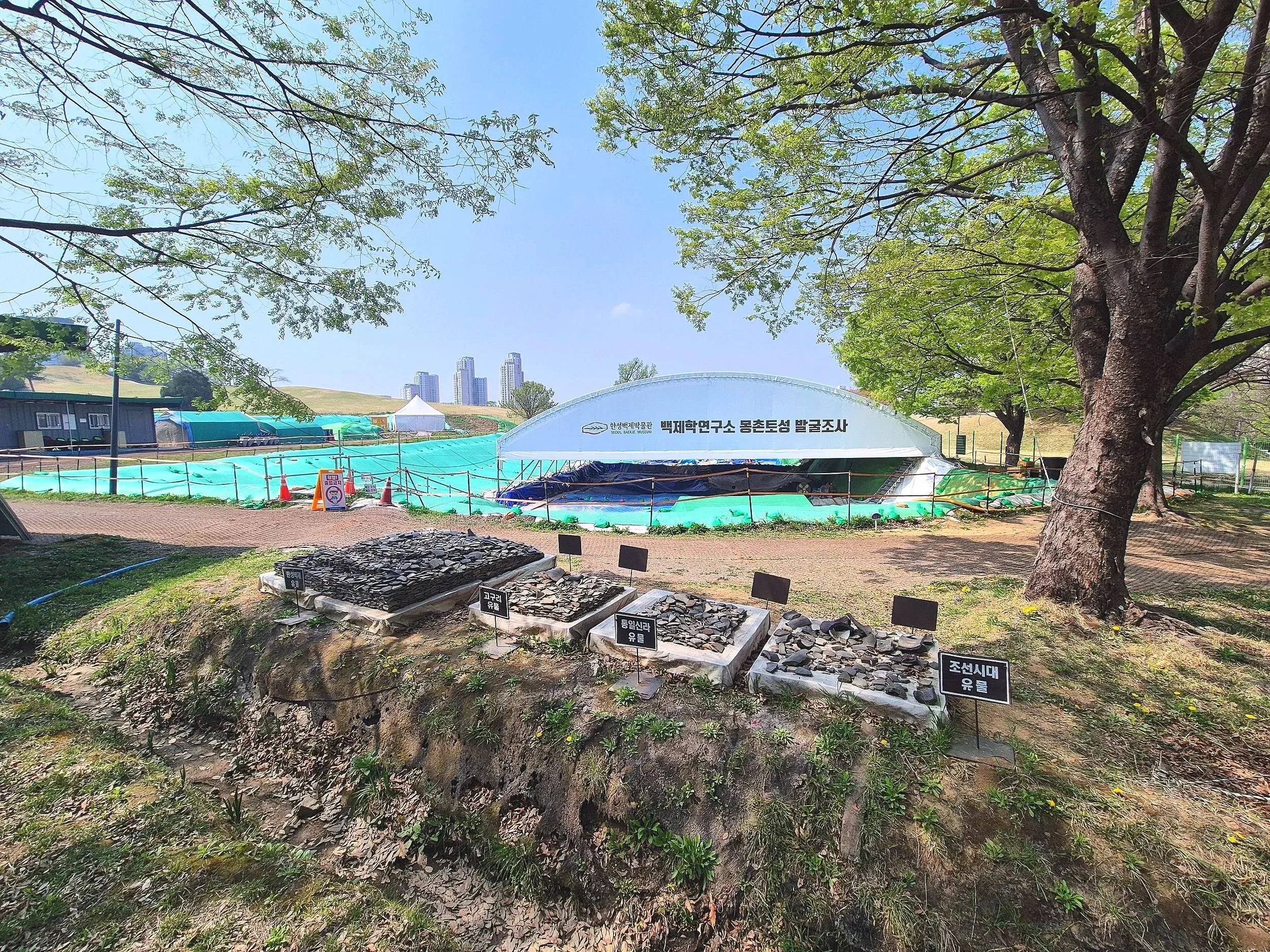
At the lower, eastern end of the fortress remnants of multiple buildings have been uncovered and a fairly large excavation continues there today. Ceramic roof tiles from the Baekje Era through to the Unified Silla Period indicate that the fortress remained in use well past the destruction of Baekje in 663 AD.
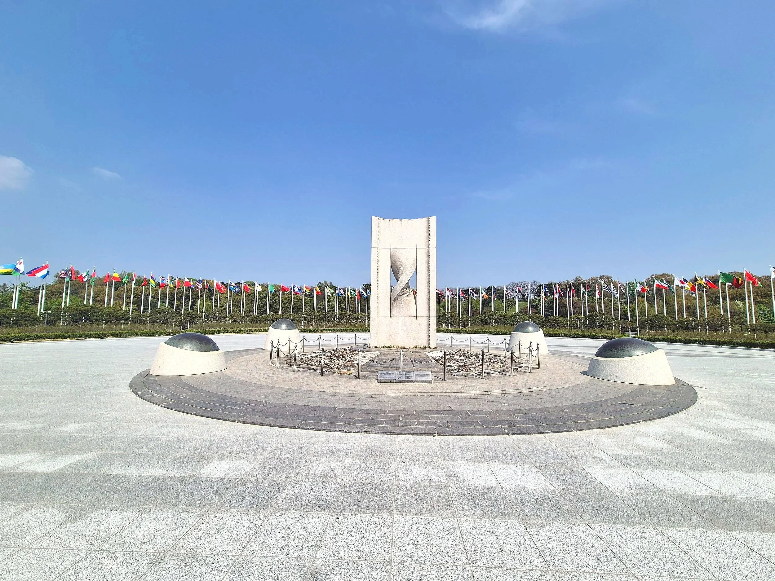
Wrapped around the southern and eastern facades of Mongchontoseong lies the city’s beautiful Olympic Park. All-in-all, not a bad afternoon and well worth exploring on a sunny Spring day in Seoul!