
hansando battle site
One of the most significant Joseon victories throughout the entire Imjin War took place in the coastal waters just north of Hansan Island, between Geoje Island and the coastal town of Tongyeong on 14 August 1592. On his third combat patrol since the war began in May, Admiral Yi Sun-sin led the combined Jeolla Fleet to link up with the Right Gyeongsang Fleet. Heading north through the narrow Gyaennaeryang Strait, his scout ships reported a large Japanese fleet anchored just to the north. Wanting to lure the Japanese out into deeper waters with more room to maneuver, Yi sent a squadron north to engage, and the Japanese took up the chase. Eventually this led them into a brutal kill zone when the Combined Joseon Fleet adopted the “Crane Wing” formation and obliterated the Japanese force. Of 72 Japanese warships only 14 survived the battle and retreated toward Angolpo. Little did those crews realize that port was next on Yi’s To-Do list and another 42 warships were destroyed there two days later. Yi took some personnel casualties throughout the two battles, but lost no ships of his own. These two, back-to-back naval victories essentially swept the sea west of Busan clear of Japanese warships, ending further coastal privations. Hideyoshi’s subsequent ban on naval operations, other than those required to defend Busan, effectively ceded maritime supremacy to Admiral Yi, with far-reaching effects upon Japanese logistics efforts on the Peninsula. Oh, and the 2022 movie “Hansan: Rising Dragon” is, in my opinion, the best of the Yi Sun-sin trilogy! You can find it on Amazon at: https://amzn.to/3UXDqKq.
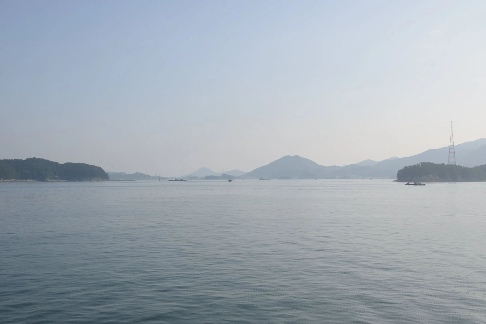
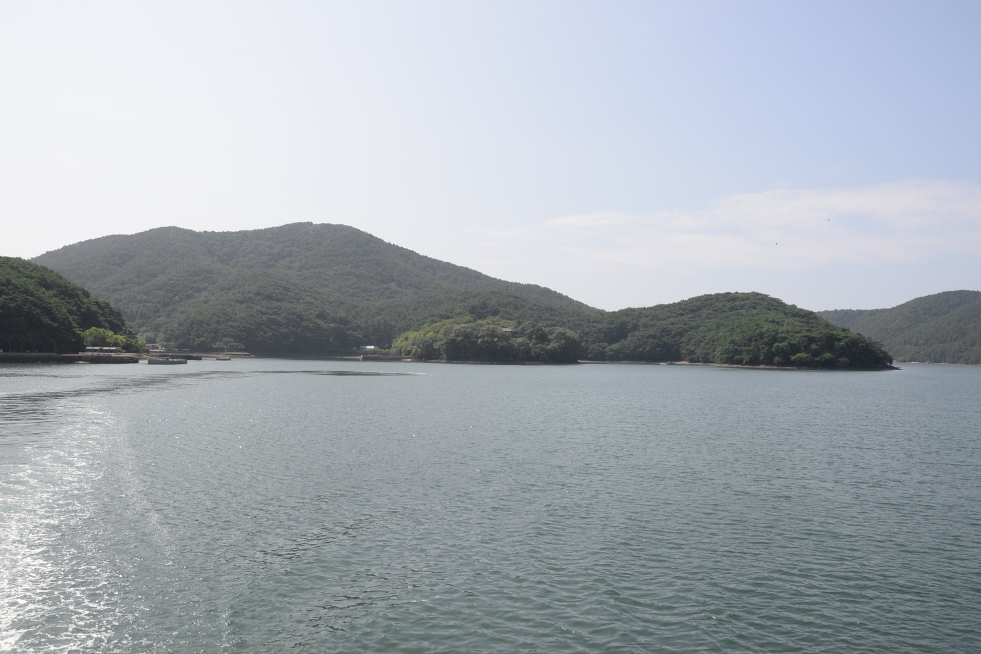
Departing Tongyeong Harbor on the ferry, within only a few minutes you can see up the Gyaennaeryang Strait off the port side of the vessel. It was up this narrow waterway Admiral Yi’s bait squadron sailed in order to lure Japanese Commander Wakizaka’s fleet into battle nearer Hansan Island.
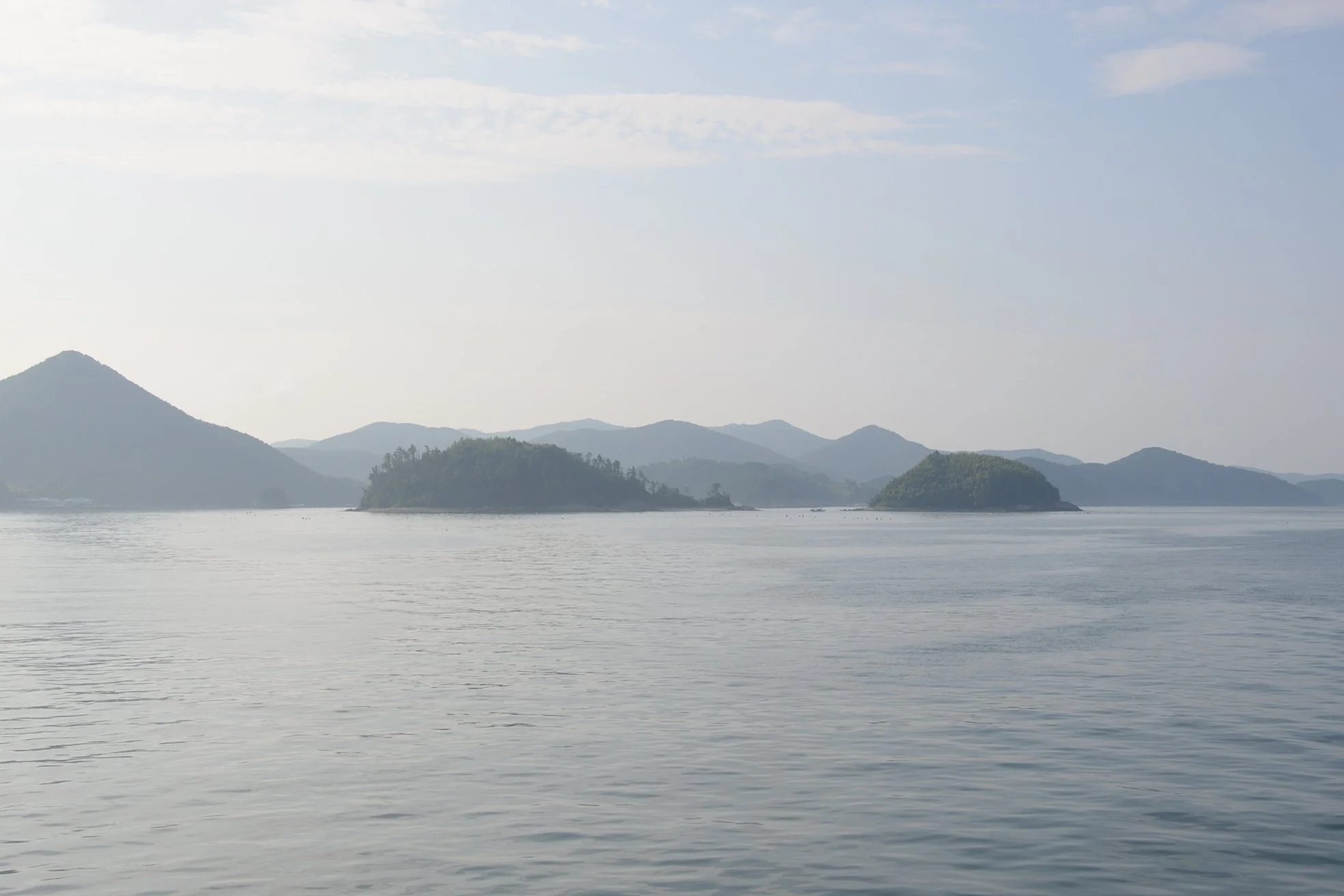
Nearly all the land visible here beyond the two small islands in the foreground are part of the irregularly shaped Hansan Island.
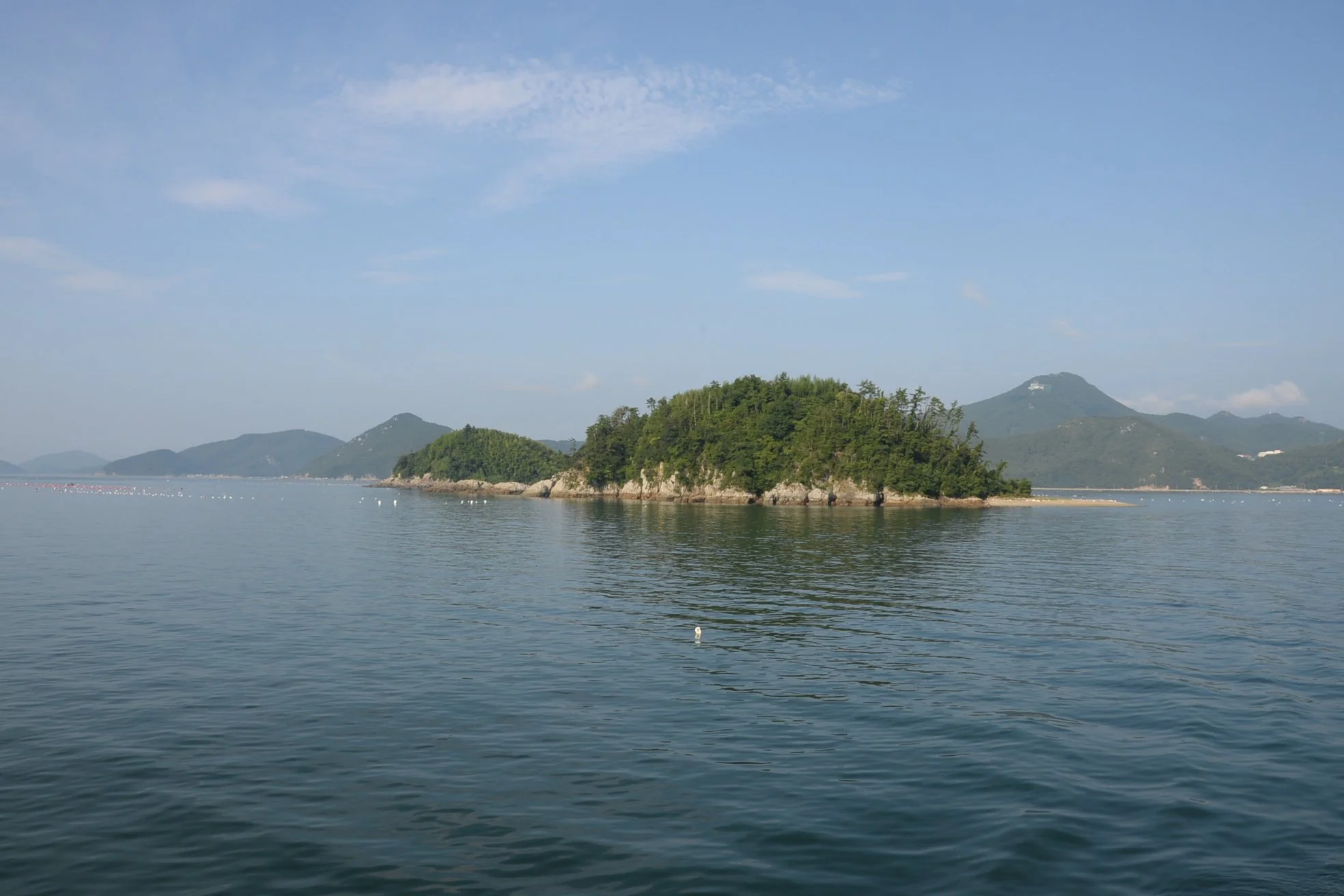
These two islands essentially anchored the right flank of Yi’s Crane Wing formation. The Crane Wing was essentially a convex arc, creating a hollow center that his pannokseon’s cannon turned into a brutal kill zone. Seeking to close with their enemy, Wakizaka’s ships sailed unknowingly into that zone and were destroyed.
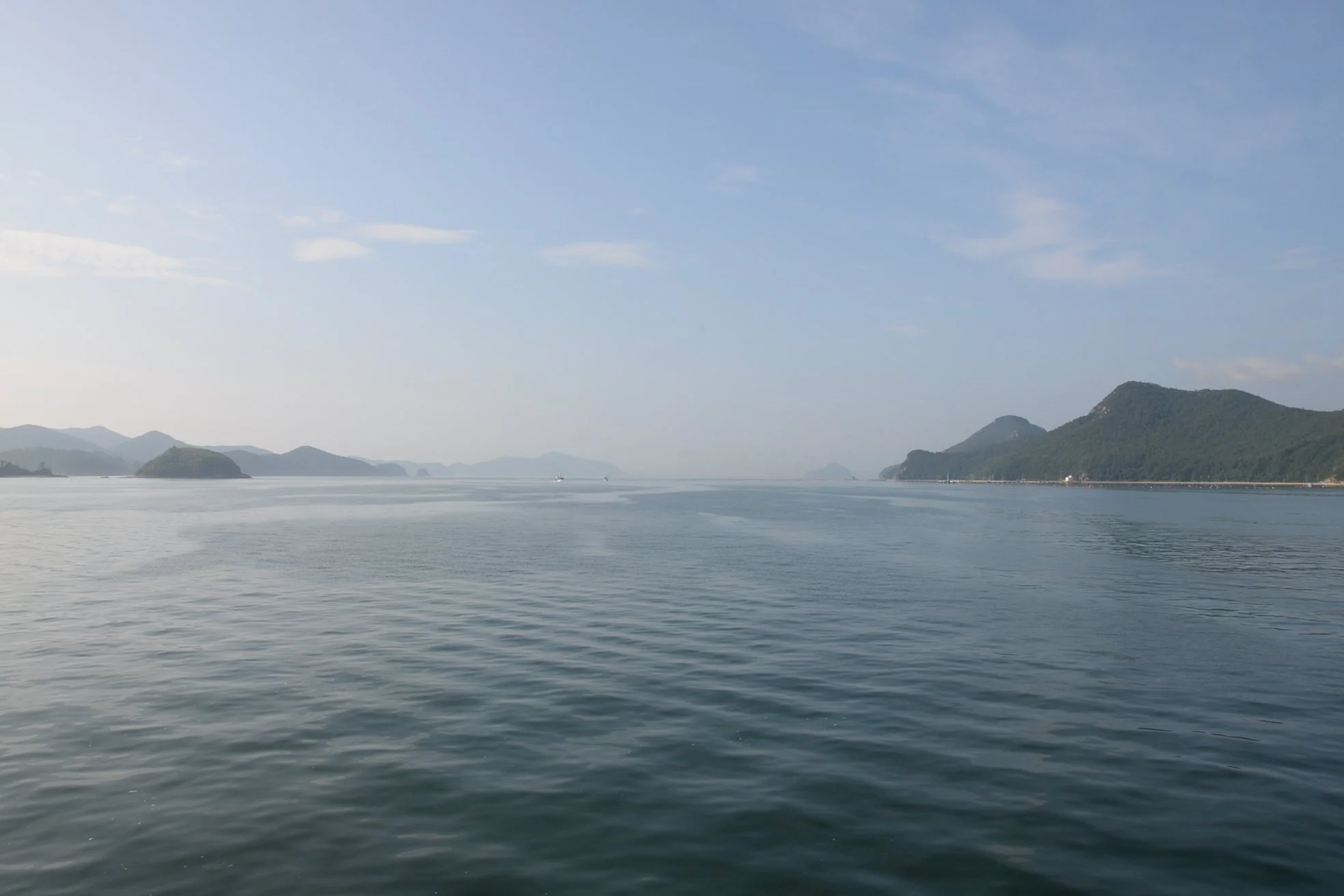
A wider view of the littoral battle field. On 14 August 1592, we would be in the position of looking at Yi’s entire battle fleet—54 pannokseon and 2 kobbukseon (“Turtle Ships”)—spread out in Crane Wing formation across the width of the entire photo. This would have been the view of Wakizaka’s men as they sailed to their doom.
Coming into the second of Hansando’s harbors. If making the trip—and I HIGHLY recommend you do—don’t make the mistake of getting off at the first ferry stop. Our ferry crew was perceptive and kind enough to let us know that wasn’t where we wanted to go!
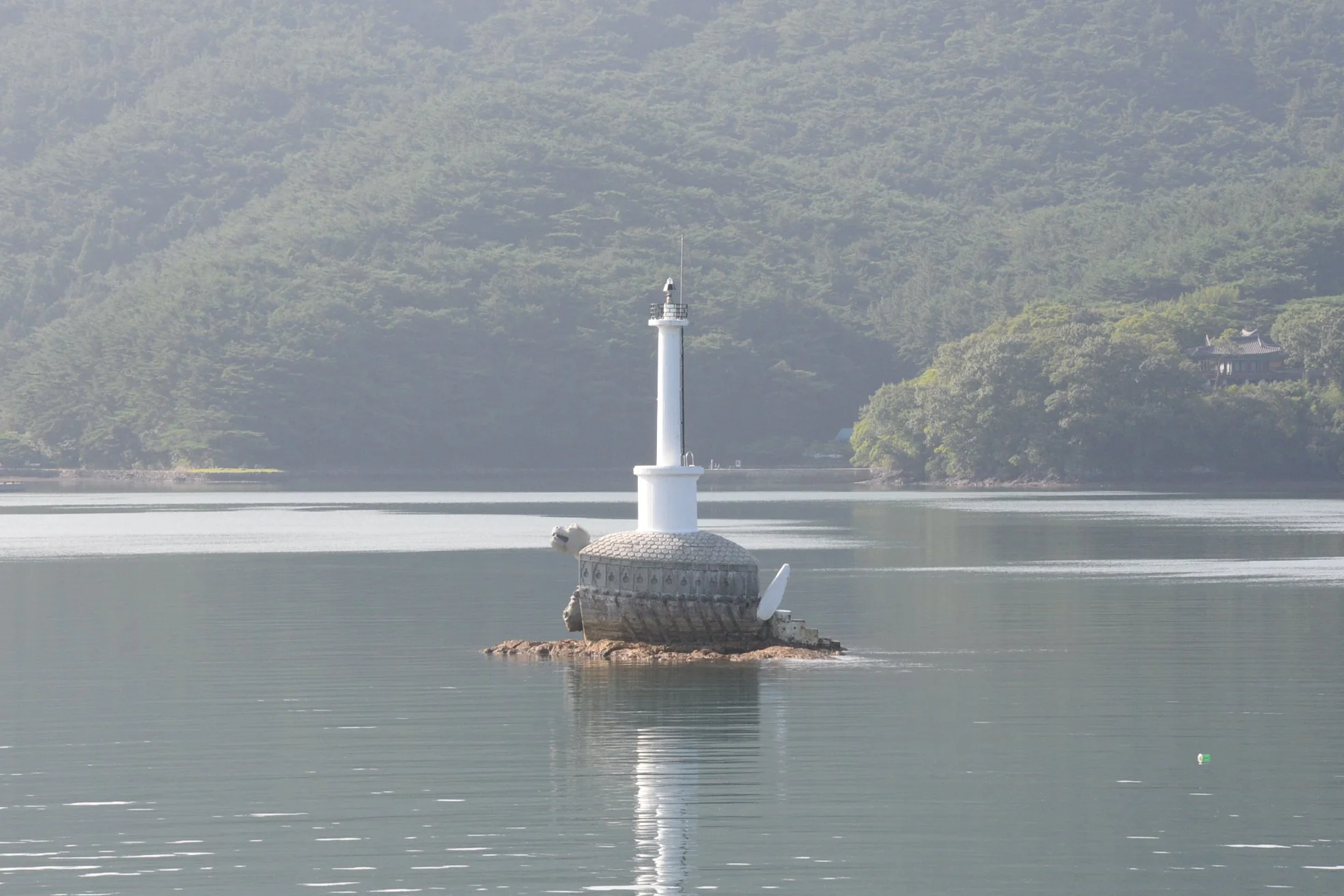
Kobbukseon-shaped marker leading into the main anchorage of Hansando.
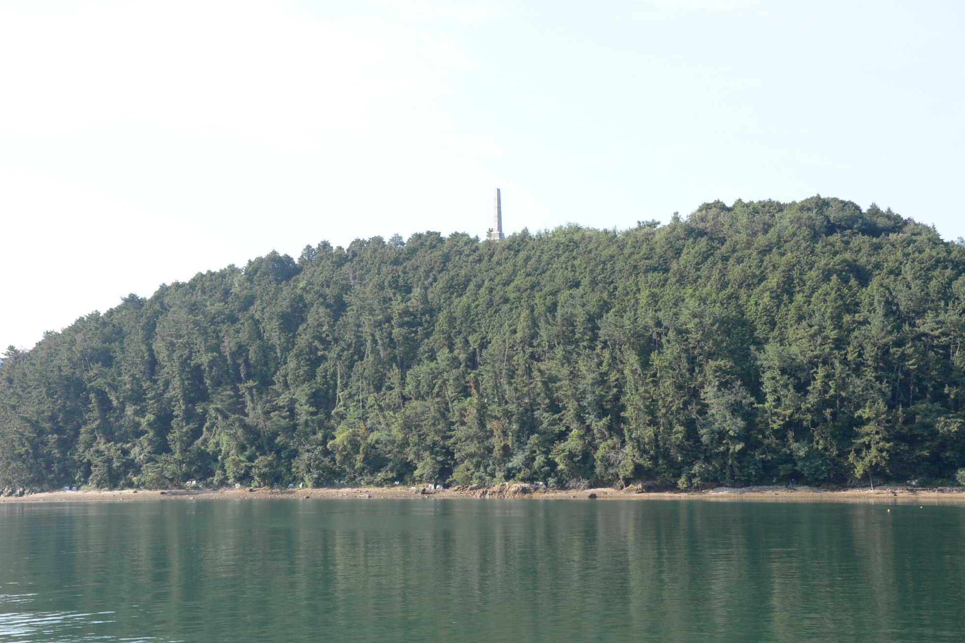
The Hansando Battle Monument high upon the hill. The white stone obelisk is beautiful…but quite distant from literally everything else we wanted to see on the island and so we didn’t take the addition hour to trek up there. Maybe next time!
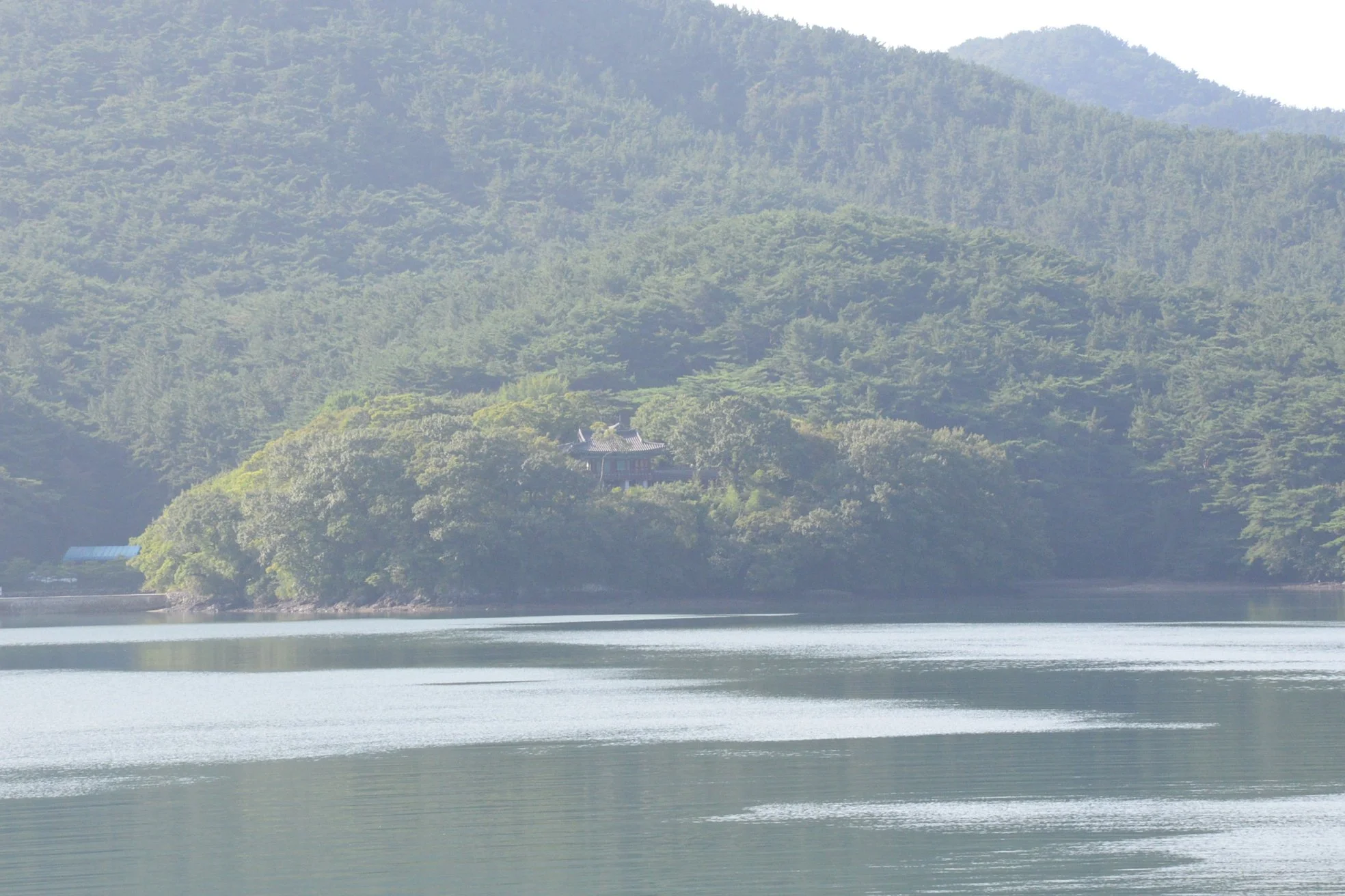
Just visible here is Suru Pavilion, on a bluff overlooking the entire anchorage. Following the Battles of Hansando and Angolpo, Admiral Yi relocated his headquarters to Hansando in order facilitate future operations against the Japanese based at Busan. That headquarters was constructed on the high ground here and Suru Pavilion offered a view of the entire anchorage.
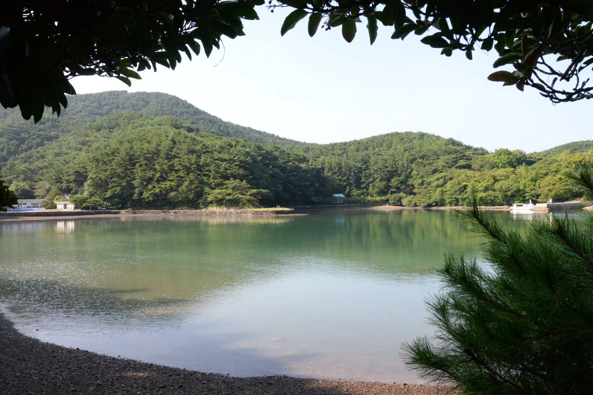
The easternmost bay at Admiral Yi’s anchorage on Hansando. The tide was pretty low while we were there.

A look back toward the mouth of the anchorage from deep within the eastern bay.
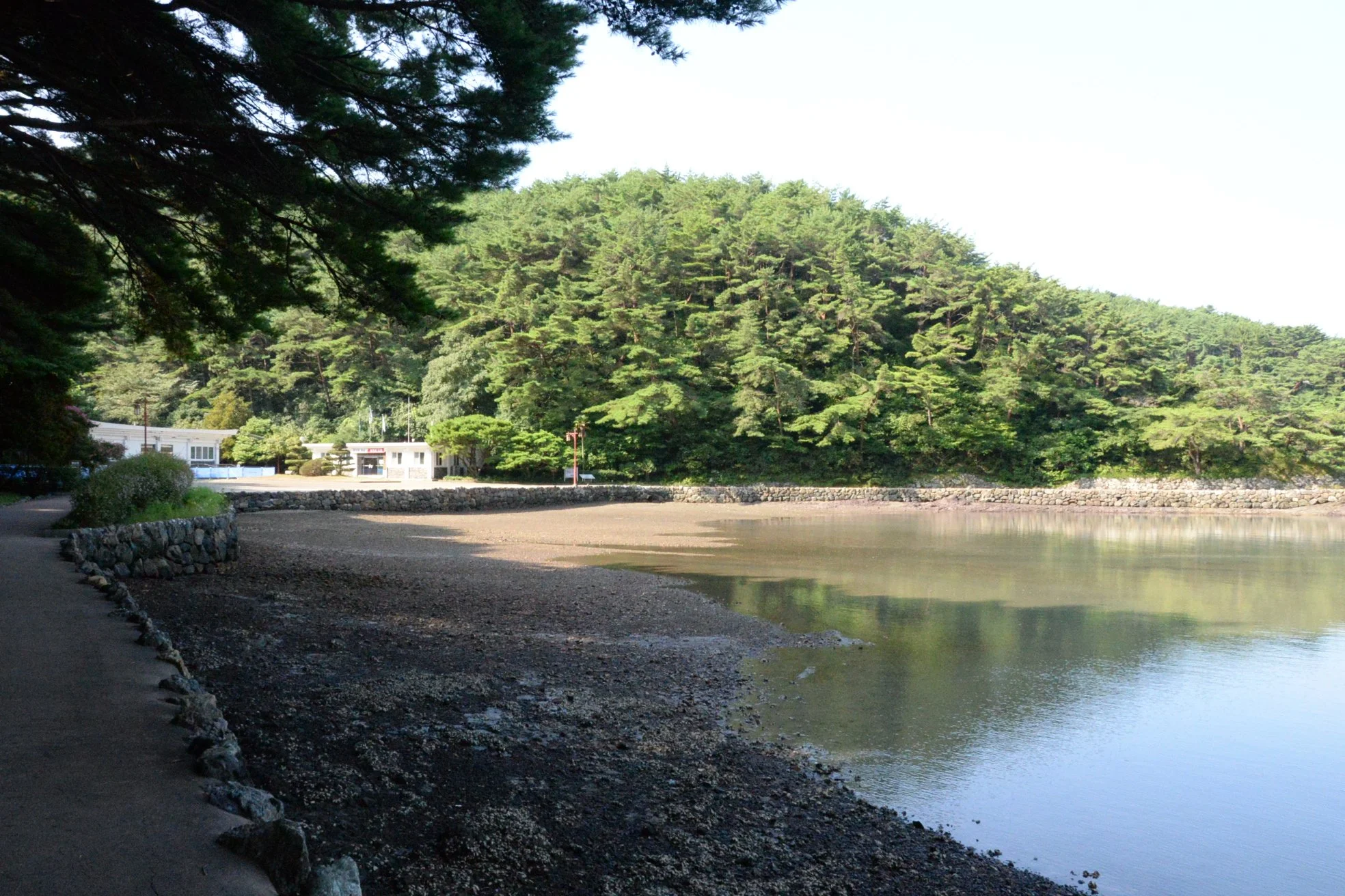
The central bay of Yi’s anchorage. Bear in mind that by the time of his arrest in 1596, Admiral Yi commanded over 200 warships, the vast majority of which anchored here at Hansando.
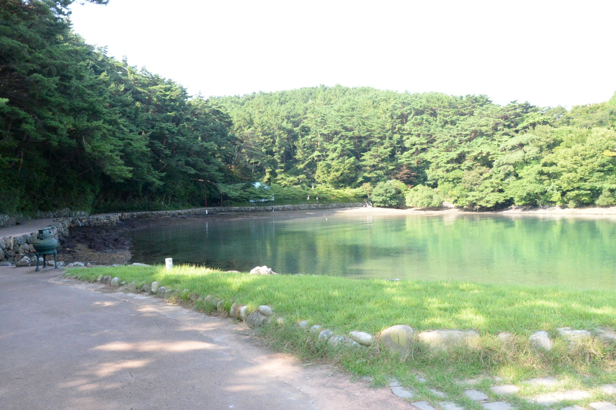
A panoramic view of the central and eastern bays of Yi’s anchorage at Hansando. The trees on the heights directly ahead at the beginning conceal his headquarters and the scenic Suru Pavilion.
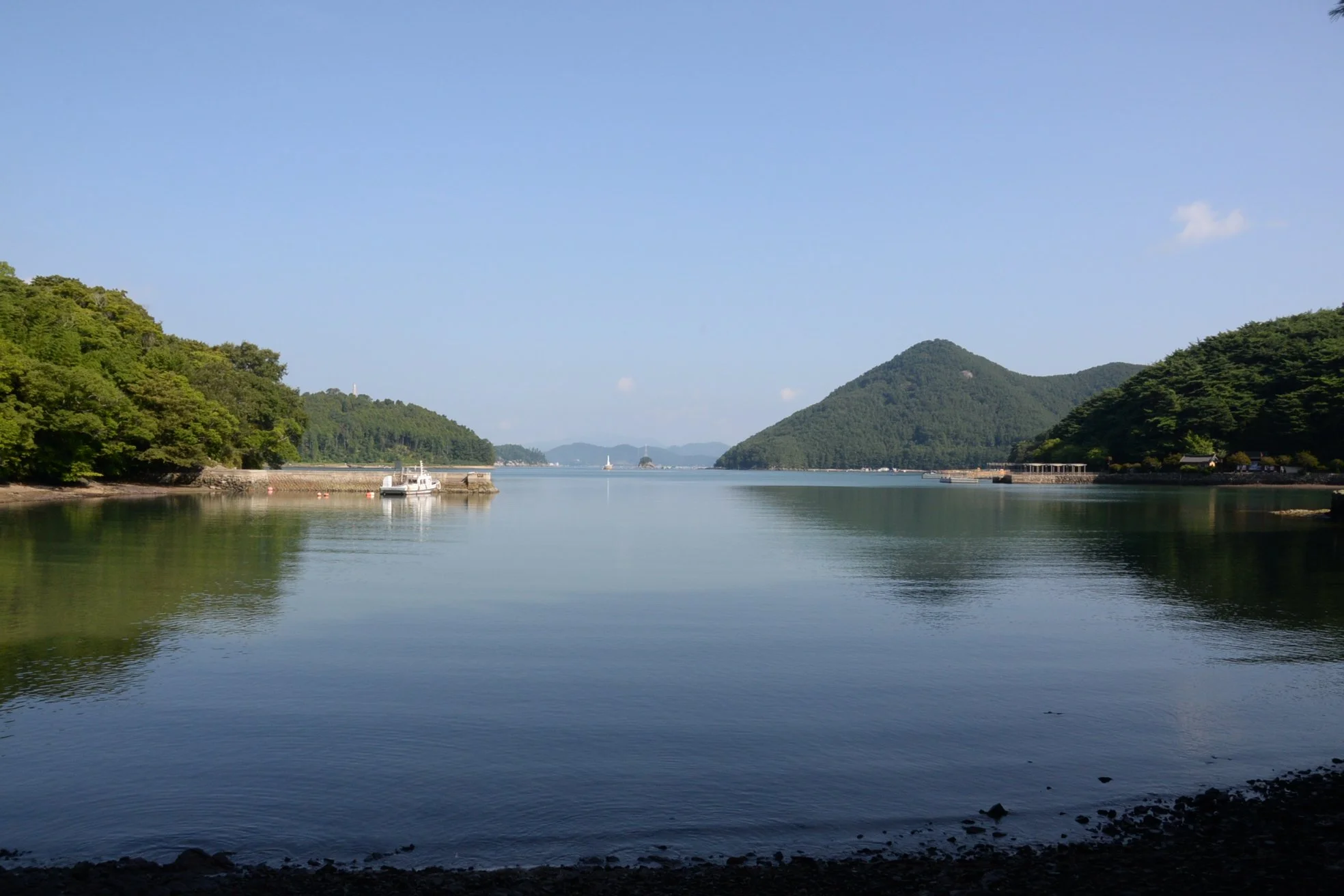
Looking back toward the mouth from the central bay.

The gateway leading up toward Admiral Yi’s headquarters.

Jaesungdae Hall replaced the one which burned down during the war, following Admiral Won Gyun’s catastrophic defeat at Chilcheollyang in 1597. It’s predecessor facility was where Admiral Yi spent much of his time throughout the war and where he drafted most of his famous wartime diary, the “Nanjung Ilgi”. It served as his headquarters building for staff meetings, planning sessions, etc.

Memorial stele dedicated to Admiral Yi’s descendents.

Suru Pavilion.

Imagine the view without the trees and you can see why Suru Pavilion would have been invaluable to Admiral Yi and senior staff. From this perch he would have been able to monitor not only the harbor mouth but view his entire fleet at anchor.
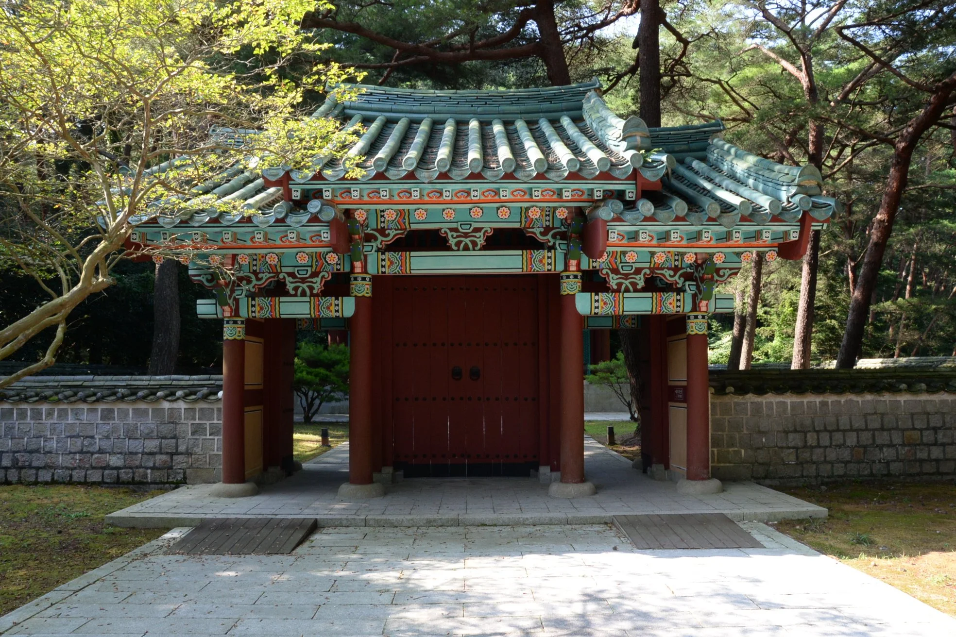
Gateway to Admiral Yi’s shrine.

The shrine itself.

No matter how I positioned myself I couldn’t get rid of the glare coming off the painting’s protective glass. Still, failed photography aside, this is the interior of Admiral Yi’s shrine on Hansan Island, and that is his likeness.

Hansanjeong was the archery pavilion and range set up for Admiral Yi and his officers. REALLY wished I’d brought my bow with me!

The targets are set up across the way, with water in between.

The “Nanjung Ilgi” is replete with notations of Yi and his staff shooting here and even holding competitions amongst themselves.

Evening view of the Hansan Island Battle Site.
Since the videos seem to be popular, here’s another, surveying the entire naval battlefield.